The Hyderabad Meteorological Center has alerted about a potential low-pressure system forming in the North West Bay of Bengal within the next 12 hours. This could lead to rain. Additionally, a cyclonic circulation is expected over the eastern and central parts of the Bay of Bengal, close to the northeastern area. This circulation pattern is set to continue into Wednesday.
Height of Circulation and Rain Chances
On Thursday, the Meteorological Center mentioned that an atmospheric layer at a height ranging from 4.5 to 7.6 kilometers above sea level will persist around the northwestern Bay of Bengal region.
Rain Expectations and Areas Affected
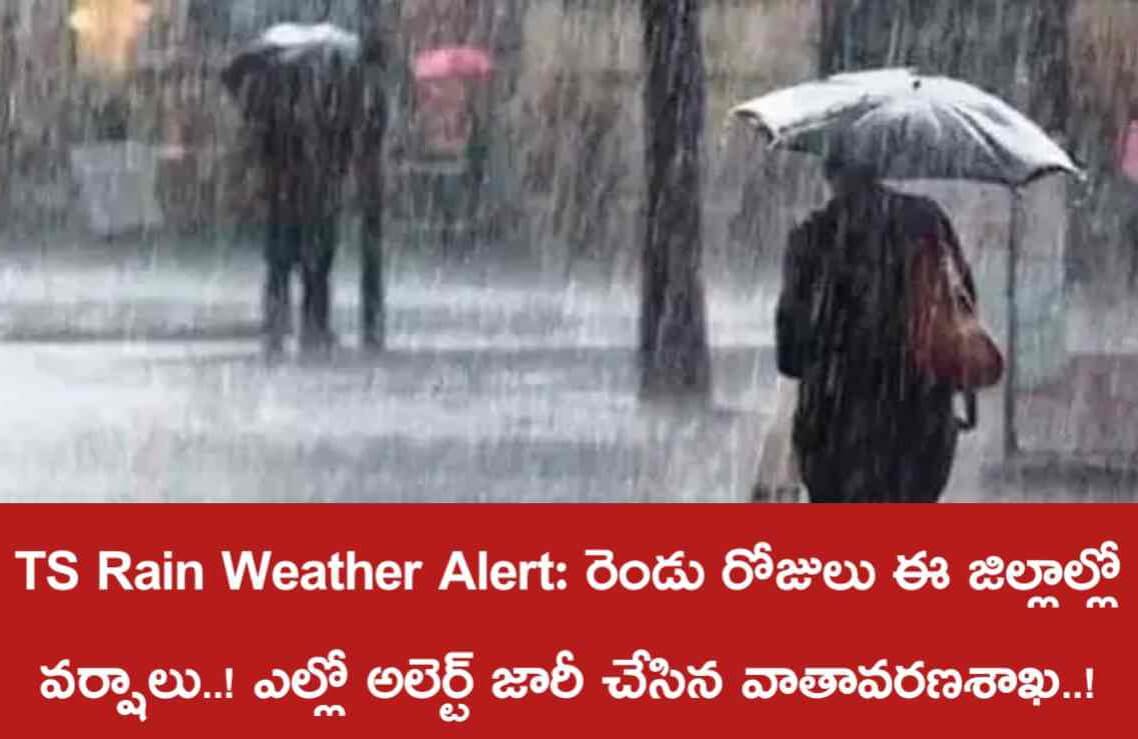
According to the weather center’s experts, a trough of high-pressure air is leaning southward. Over the upcoming three days, there’s a forecast of light to moderate rainfall accompanied by thunder and lightning. As we move further into the week, both Friday and Saturday might witness episodes of heavy rain across several districts in the state. The areas most likely to experience heavy rainfall on Friday include Adilabad, Kumrambhim Asifabad, Manchiryala, Nirmal, Nizamabad, Jagityala, Rajanna Sirisilla, Karimnagar, Peddapalli, Jayashankarbhupalapalli, Mulugu, Mahabubabad, Warangal, Hanmakonda, and Kamareddy.
Monsoon Situation and Farmer’s Relief
The monsoon arrived later than expected this year and unleashed torrential rains by the end of July, causing flooding in the state. However, August remained dry without any rainfall. This dry spell became a concern for farmers who had planted dry crops, leaving them anxiously awaiting rainfall. A sigh of relief can now be heard among the farming community as the meteorological department’s prediction offers hope for renewed rainfall under the current circumstances.